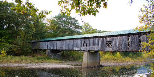
Bartonsville Bridge
Bartonsville, VT
Bartonsville Bridge
Lower Bartonsville Road
Location: Off Route 103 on Lower Bartonsville Road at the south edge of Bartonsville.
Visit Vermont / Southern / Covered Bridges
Southern, Vermont
Few structures in America combine architectural ingenuity, economic necessity, and romantic idealism better than the covered bridge. Covered bridges flourished in the United States in the 19th century. Vermont, with about 104 of them, has the highest density of bridges. Vermont and New Hampshire share the Cornish-Windsor Bridge, the longest wooden covered bridge in the United States. Individual inventiveness played an important role in the proliferation of covered bridges.
14 listings
Lower Bartonsville Road
Location: Off Route 103 on Lower Bartonsville Road at the south edge of Bartonsville.
Covered Bridge Road
Location: Northwest of Arlington, Route 313 West 4.2 miles from junction with Route 7A in Arlington (just past West Arlington); south on Covered Bridge Road; then…
Sunderland Hill Road
Location: E. off Route 7. Travel east of Arlington, East Arlington Road east (curves north) 1.6 miles; continue north on Sunderland Hill Road; 0.4 miles to the br…
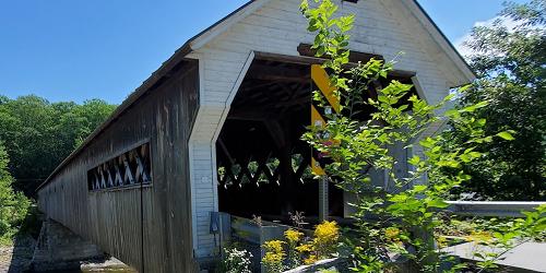
West River Road
Location: Route 30 north 0.7 mile from West Dummerston; turn east on West Dummerston Covered Bridge Road. Travel 150 feet to the bridge.
Sunderland Hill Road
Location: Route 121 east 1.2 miles from junction with Westminster Street in Saxtons River, north on Sunderland Hill Road 200 feet to the bridge. The bridge is eas…
River Road
Location: South-southwest of North Bennington. Travel Route 67A south 1.2 miles from junction with VT67 in North Bennington; west on River Road; 0.5 miles south o…
Murphy Road
Location: US7 north 1.2 miles from junction with Route 9 in Bennington; then northwest on Route 7A 0.8 miles; continue northwest on Route 67A west 1.4 miles; sout…
Silk Road
Location: US7 north 1.2 miles from junction with Route 9 in Bennington; northwest on Route 7A 0.8 miles; continue northwest on Route 67A and west 1.0 miles; south…
Location: North of exit 6 on I-91, at the intersection of US 5 and Route 103, travel north on Route 103 for 2.5 miles. Bridge is an entrance to Vermont Country St…
Dover Road
Location: Off Route 30. Dover Road east 1.7 miles from junction with North Street in East Dover to the bridge. The bridge is east of East Dover in the town of New…
Williams Road
Location: From Lower Bartonsville Road go south 0.5 miles from Bartonsville; continue south on Route 103 0.4 miles; east on Williams Road; then 0.2 mile to the br…
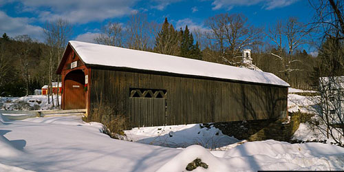
Jacksonville Stage Road
Location: 1.4 miles south of junction I-91 exit 1 on US5 to Guilford then right 4.1 miles to Guilford Center and 0.6 miles ahead; then right 2.4 miles on Stage Ro…
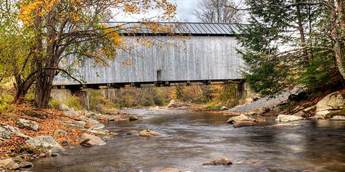
Bear Hill Road
Location: 0.1 miles east of Grafton on Route 121 then right on Bear Hill Road; then 0.2 miles to the bridge. The bridge is located on the south edge of Grafton.
Route 30 East
Location: Take Route 30 east 1.6 miles from the junction with Route 35 in Townshend to the bridge on the south side of the road. The bridge is located between Tow…
Statewide